

Aerial Surveying and 2D/3D Mapping
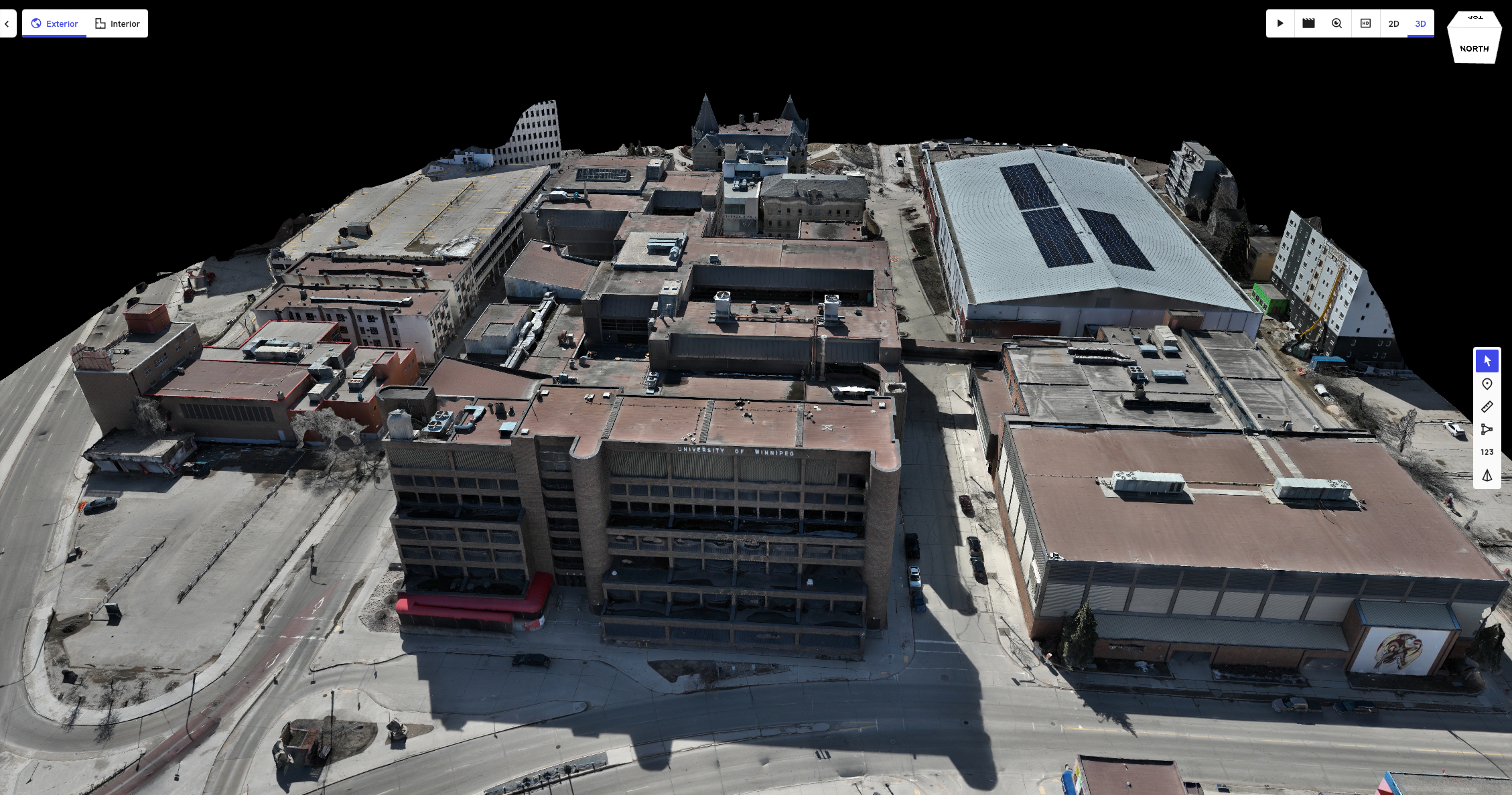
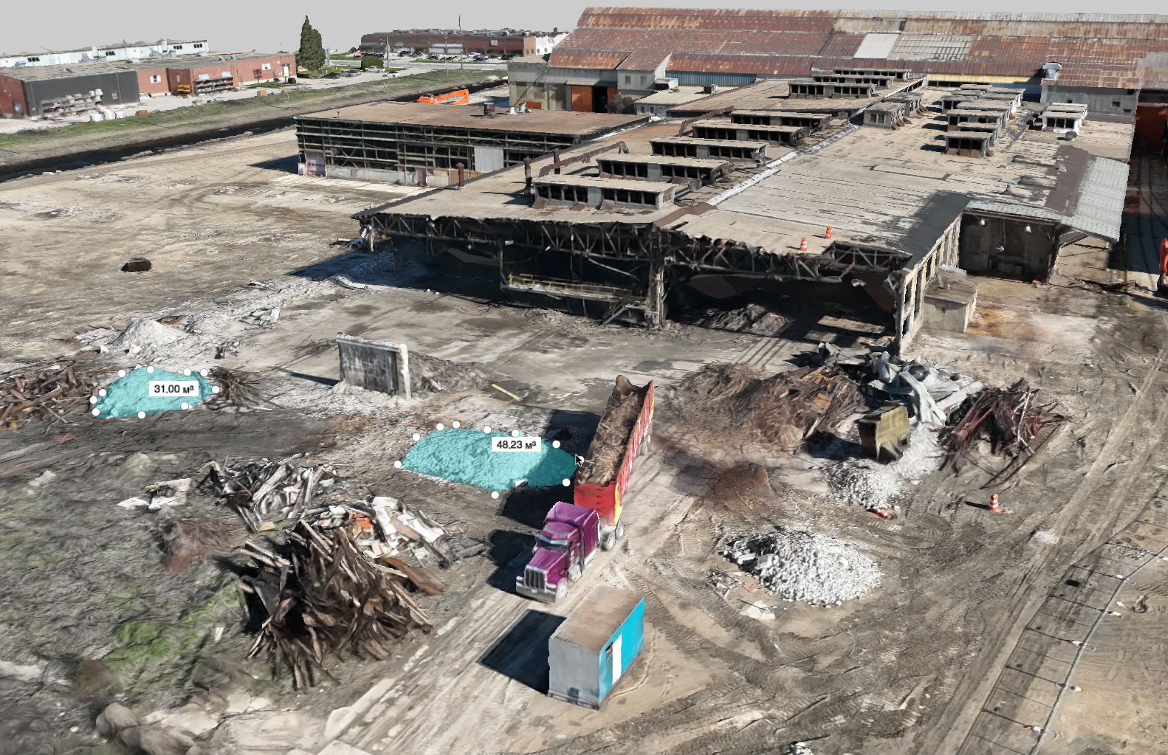
Drone-based mapping turns a site into precise, actionable data. We capture high-resolution aerial imagery and process it into detailed 2D orthomosaic maps and interactive 3D models. Covering large or complex sites in a single flight, our surveys deliver the spatial data you need for design, planning, progress tracking, and documentation, all without closing the site or mobilizing a full ground crew.
Have a Project in Mind?
Applications: Construction progress monitoring, site planning and design, topographic mapping, as-built documentation, land development, earthworks, infrastructure and asset mapping, site measurements, change detection, and 2D/3D site documentation.