

Aerial Volumetric Measurements
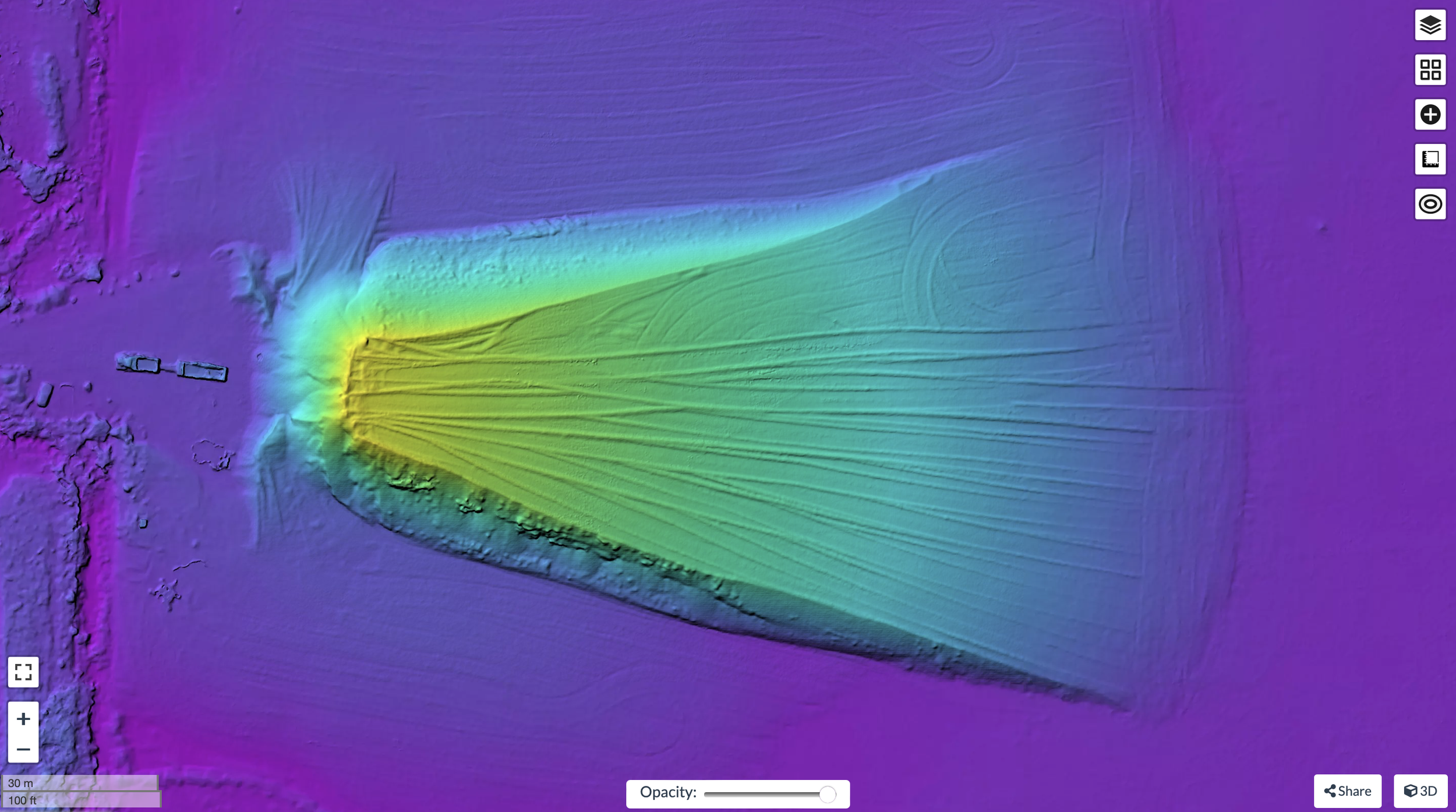

Aggregate and Stockpile Measurements
Traditional stockpile measurements can be time-consuming and costly. Using the Mavic 3 Enterprise with RTK positioning, we rapidly capture accurate aerial data and create detailed 3D models for volume calculations. Clients receive secure access to their data, allowing them to view the site, measure individual stockpiles, and track inventory over time—making volume management faster, safer, and cost effective.
Have a Project in Mind?
Applications: Aggregate and material stockpiles, quarries and mining operations, landfills, earthworks, excavations, construction sites, and material inventory management.