

Wildfire & Emergency Response
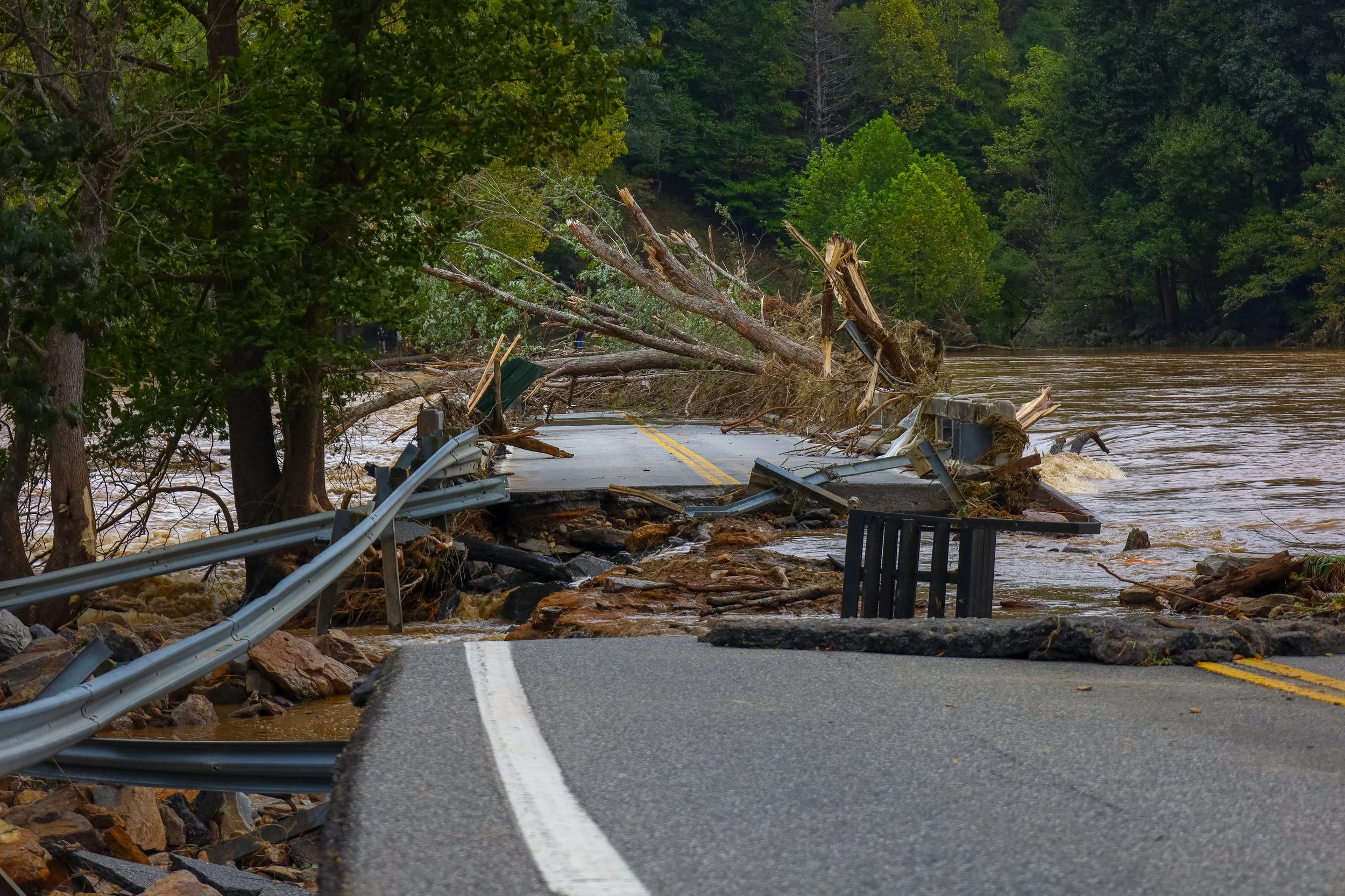
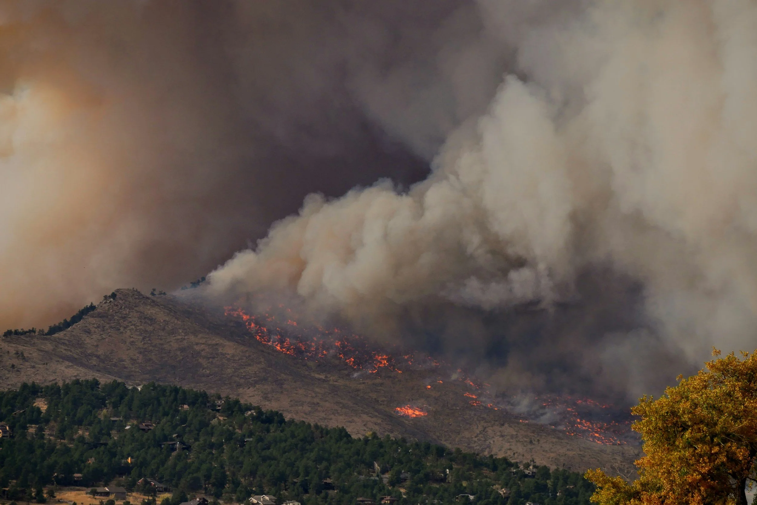
When every minute counts, aerial thermal imaging provides critical situational awareness from above. Our drones can detect hotspots, monitor fire spread, see through smoke and darkness, and support search and rescue, disaster assessment, and emergency response. Rapid deployment and real-time aerial imagery help responders assess conditions, reach difficult areas, and make faster, better-informed decisions.
Have a Project in Mind?
Applications: Wildfire and hotspot detection, active fire monitoring, search and rescue, storm and flood response, disaster damage assessment, emergency reconnaissance and situational awareness, critical infrastructure assessment, and post-incident mapping and documentation.